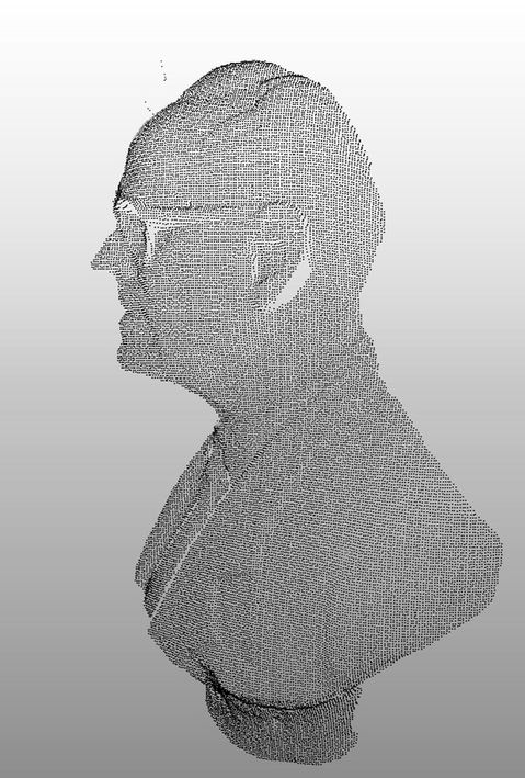
POINT CLOUD
The laser scanner is a non-destructive technology used to digitally capture physical objects that, through the emission of laser rays, is able to measure the distance between the device and the surfaces that surround it.
The equipment captures the XYZ coordinates of the objects around it and converts them into a point cloud with millimeter precision. Through this virtual replica, it is possible to extract planimetric and altimetric information from visible structures.
There are applications for the use of the point cloud in all sectors that somehow involve engineering processes, bringing all the benefits inherent to this type of survey and, thus, enhancing the decision-making process.

DELIVERABLES
Point cloud

FORMATS
.X Y Z ; .pts; .ptx;
.rcp; .rcs; .e57
Others
BENEFITS
-
Direct visualization of the laser scanning product, without re-readings;
-
Direct measurements in high precision;
-
Availability of interaction with all elements captured by the scanner;
-
High interoperability: possibility of importing into different software;
-
Possibility of direct generation of sections, elevations and "floor plans";
-
Most reliable representation possible of the real structure.
LIMITATIONS
-
Heavier files;
-
Requires specific software for manipulation;
-
Cloud regions can be hidden or deleted, but they are not editable;
-
Exclusive representation through points, do not contain information of identity of the elements.


